Geospatial Mapping
Aerial Technologies is highly focused on offering you an outstanding geospatial solution that is incomplete without geospatial mapping. Our services and solutions simply comply with the client's needs for rail, energy, and natural resources sectors.Our geospatial mapping service is highly efficient in providing you proper acquisition and management of accurate geospatial information. Moreover, it gives you precise insight into the regions so that you can make appropriate decisions for taking the necessary actions.
Our geospatial mapping service offerings are as follows :
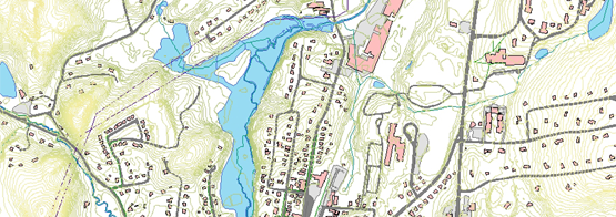
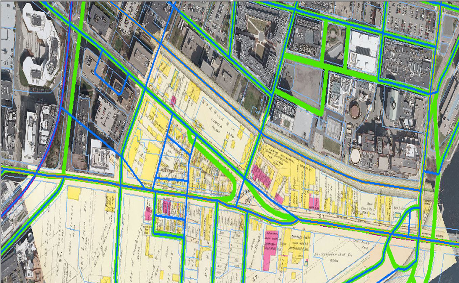
- Planimetric maps
- Accelerate Performance
- Vegetation Management
- Integrate Next-Gen Technology
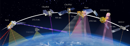
- Earth Observation