Photogrammetry :
Photogrammetry works as the fundamental base for obtaining information regarding physical objects and the environment using photographic and electromagnetic images. Aerial Technologies brings to you well-defined photogrammetric images obtained using remote sensing and scientific measurements.We implement Spatial technology and Geographic Information Systems to offer more accuracy in fulfilling your requirement. Hence, we take care of all your needs so that you can have the best experience while outsourcing your business projects to us, connecting you to highly-skilled industry experts.
Our photogrammetry services include :
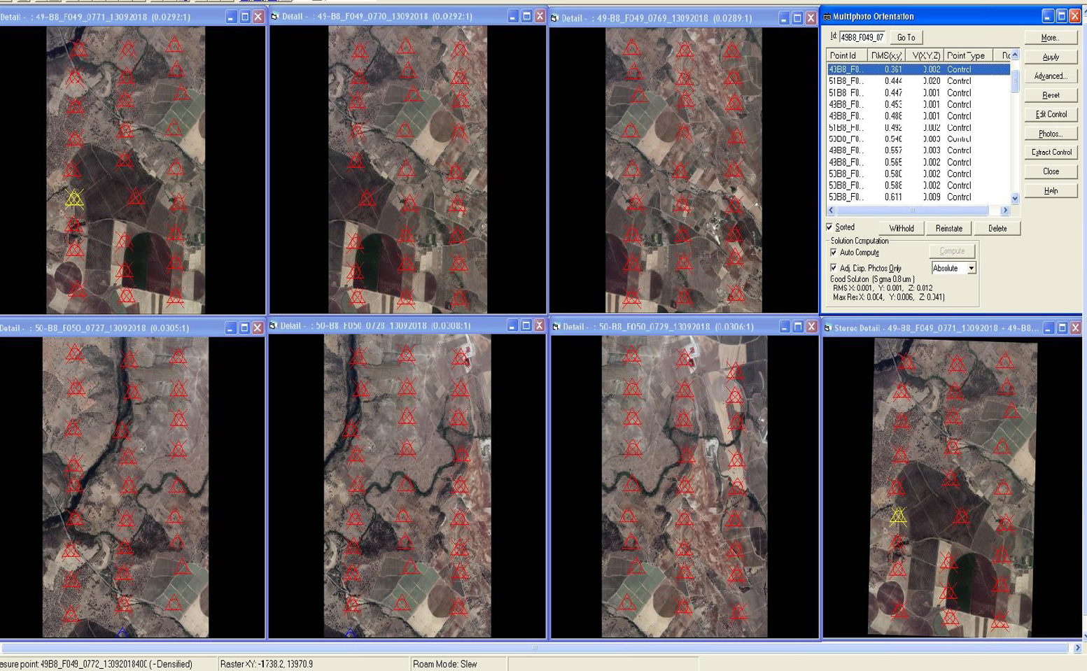
- Aerial Triangulation
- 3d Modelling & Meshing
- UAV Mapping
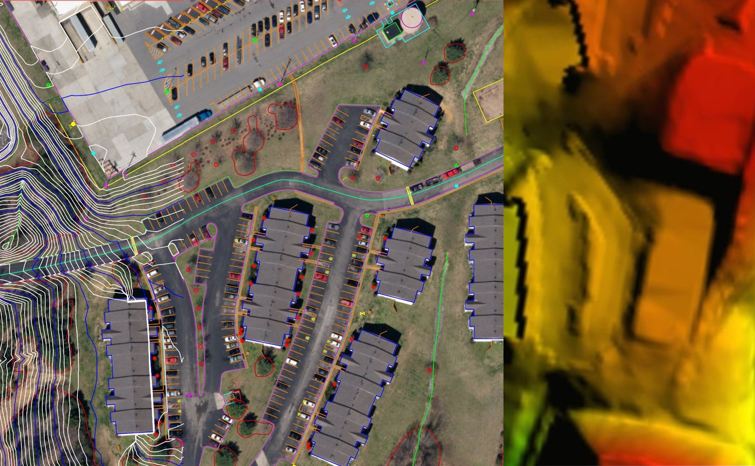
- DEM & DTM Generation and Editing
- Golf Course Mapping
- Orthophoto generation
- Planimetric 3D Feature Extraction