Lidar Engineering
With a rapid escalation in UAVs and advanced technology of photogrammetry, Light Detection, and Ranging, or Lidar system work with utmost efficiency. Aerial Technologies offers you UAV converge to facilitate an unlimited number of applications in the fields of surveying construction, civil engineering, and other such domains.Moreover, our service is beneficial in collecting accurate spatial data such as orthophotos and 3D elevation data using drones to leverage civil engineering projects, along with rapid solution building.
Here are our Lidar service offerings :
- Bare Ground and Full feature classification
- Utilities Corridor Mapping
- Urban Planning
- Transportation Planning
- Powerline Classification & Vectorization
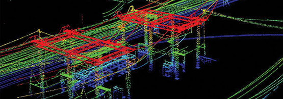
Utility Corridor Mapping
With our utility corridor Lidar mapping, you can take your road development, hydrological surveys, and railway development business to another level. We facilitate air laser scanning with our Lidar service for determining a close-range of detailed data from sensor positions located at distances ranging from 500’ to 1500’.We acquire the necessary features for modeling through air or ground. Our utility corridor mapping serves to be great for telecommunication, electricity sagging, and oil and gas resource detection.
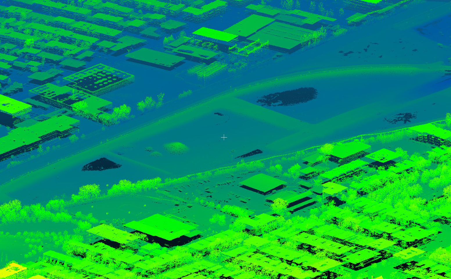
Bare Ground and Full Feature Classification
Aerial Technologies use high data-driven tools, which are convenient for close mapping of bare ground and its full feature classification. Our close laser scanning surveys deliver you highly accurate data regarding barren lands in specific locations.Our Lidar service extends to provide you proper spatial data processing to offer a top-notch classification of the grounds with full feature extraction and classification. Thus, we strive to deliver you a fully close classification of bare grounds based on the surveying of mines, forests, and cities in the field.
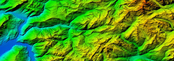
Transportation Planning
You can avail of our Lidar systems to make your transportation plans top-notch. We perform rapid expert surveys to deliver data to you quickly while maintaining quality. Our in-house team with data processing professionals offers you detailed survey results based on scanning and mapping objects.Hence, we customize the results as per your need. Our AI-driven Lidar technology includes highly accurate data processing techniques to let you have a detailed survey for effective transportation development planning.